-
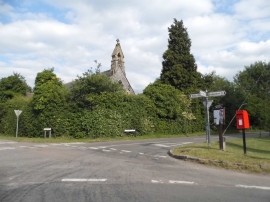
St John's church, Letty Green
-
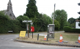
Elizabeth II postbox and telephone box, Letty Green
St John's church, Letty Green
Elizabeth II postbox and telephone box, Letty Green
Location and coordinates are for the approximate centre of Letty Green within this administrative area. Geographic features and populated places may cross administrative borders.