-

Morley Farm Oast, Beckley Road, Northiam, East Sussex
-
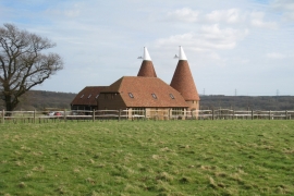
Morley Farm Oast, Beckley Road, Northiam, East Sussex
Morley Farm Oast, Beckley Road, Northiam, East Sussex
Morley Farm Oast, Beckley Road, Northiam, East Sussex
Location and coordinates are for the approximate centre of Lawyer's Wood within this administrative area. Geographic features and populated places may cross administrative borders.