-
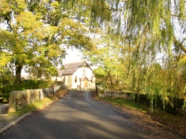
Road bridge over the River Laver into Laverton
-
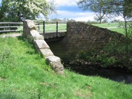
Bridge over the river Laver
Road bridge over the River Laver into Laverton
Bridge over the river Laver
Location and coordinates are for the approximate centre of Laverton within this administrative area. Geographic features and populated places may cross administrative borders.