-
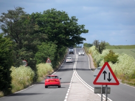
A10 narrows from dual carriageway
-
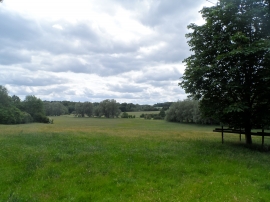
Park land near to Westmill
A10 narrows from dual carriageway
Park land near to Westmill
Location and coordinates are for the approximate centre of Langley Wood within this administrative area. Geographic features and populated places may cross administrative borders.