-
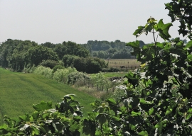
Dismantled railway
-
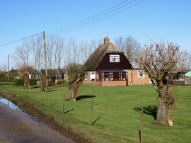
Great Abington: cottages on North Road
Dismantled railway
Great Abington: cottages on North Road
Location and coordinates are for the approximate centre of Lagden's Grove within this administrative area. Geographic features and populated places may cross administrative borders.