-
Track to the north of Budby South Forest
-
Track by Ladysmith Plantation
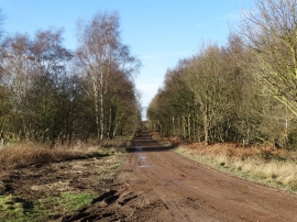
Track to the north of Budby South Forest
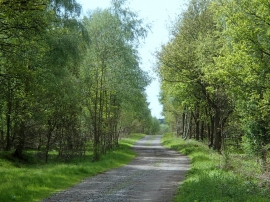
Track by Ladysmith Plantation
Location and coordinates are for the approximate centre of Ladysmith Plantation within this administrative area. Geographic features and populated places may cross administrative borders.