-
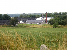
View towards Knock Distillery
-
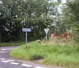
Knock junction
View towards Knock Distillery
Knock junction
Location and coordinates are for the approximate centre of Knabbygates Wood within this administrative area. Geographic features and populated places may cross administrative borders.