-
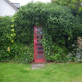
Telephone box in a hedge, Kirkhill
-
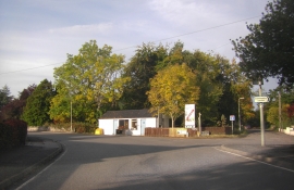
B9164 passing through Kirkhill
Telephone box in a hedge, Kirkhill
B9164 passing through Kirkhill
Location and coordinates are for the approximate centre of Kirkhill within this administrative area. Geographic features and populated places may cross administrative borders.