-
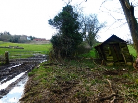
Falling down hovel by byway
-
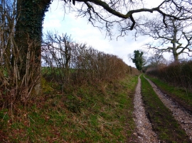
Byway to Old Down Farm from Peak farm
Falling down hovel by byway
Byway to Old Down Farm from Peak farm
Location and coordinates are for the approximate centre of Kingsland Copse within this administrative area. Geographic features and populated places may cross administrative borders.