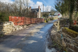
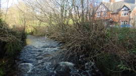
Kennel Plantation, Devon

« Gazetteer Entry
Upload Photo

Kennel Plantation, Devon

  • Parish/Community: Cornwood
  • District/Borough: South Hams
  • County: Devon
  • Region: South West
  • Category: Landcover
  • Type: Forest or Wood
  • Latitude/Longitude: 50°25'18"N 3°56'56"W
  • Eastings/Northings: 261636, 59800
  • OS Grid: SX616598
  • Mapcode Local: GBR Q5.HZ8D
  • Mapcode Global: FRA 27MY.197

Location and coordinates are for the approximate centre of Kennel Plantation within this administrative area. Geographic features and populated places may cross administrative borders.

BritishPlaceNames.uk is a Good Stuff website.