-
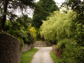
Approaching the Hamlet of Bowden
-
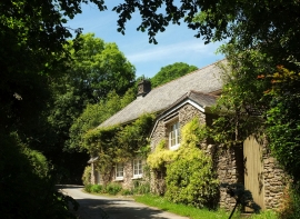
Cottage near Bowden
Approaching the Hamlet of Bowden
Cottage near Bowden
Location and coordinates are for the approximate centre of Kennel Copse within this administrative area. Geographic features and populated places may cross administrative borders.