-

Kirknewton Park
-
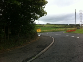
Main Street meets Station Road, Kirknewton
Kirknewton Park
Main Street meets Station Road, Kirknewton
Location and coordinates are for the approximate centre of Jubilee Wood within this administrative area. Geographic features and populated places may cross administrative borders.