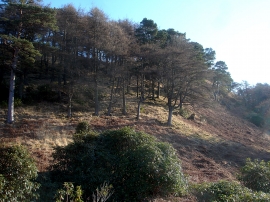
Jubilee Wood, Argyll and Bute

« Gazetteer Entry
Upload Photo

Jubilee Wood, Argyll and Bute

  • Unitary Authority: Argyll and Bute
  • Region: Scotland
  • Category: Landcover
  • Type: Forest or Wood
  • Latitude/Longitude: 56°21'32"N 5°50'52"W
  • Eastings/Northings: 162409, 725172
  • OS Grid: NM624251
  • Mapcode Local: GBR CCYX.862
  • Mapcode Global: WGZFG.4FKG

Location and coordinates are for the approximate centre of Jubilee Wood within this administrative area. Geographic features and populated places may cross administrative borders.

BritishPlaceNames.uk is a Good Stuff website.