-
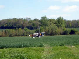
Spraying young wheat near Lawn Lane
-
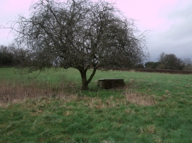
Brick construction, field near Hannington
Spraying young wheat near Lawn Lane
Brick construction, field near Hannington
Location and coordinates are for the approximate centre of Jubilee Copse within this administrative area. Geographic features and populated places may cross administrative borders.