-
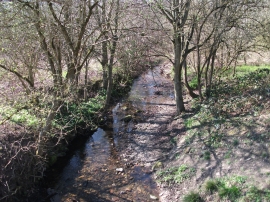
Tref-y-nant nearly at Afon Dyfrdwy
-

The River Dee from the Pontcysyllte Aqueduct
Tref-y-nant nearly at Afon Dyfrdwy
The River Dee from the Pontcysyllte Aqueduct
Location and coordinates are for the approximate centre of Jeffrey's Wood within this administrative area. Geographic features and populated places may cross administrative borders.