-
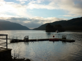
Looking down Loch Lomond
-
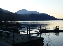
Ben Lomond from Inveruglas
Looking down Loch Lomond
Ben Lomond from Inveruglas
Location and coordinates are for the approximate centre of Inveruglas Isle within this administrative area. Geographic features and populated places may cross administrative borders.