-

Access road for Monkwood Cottage
-
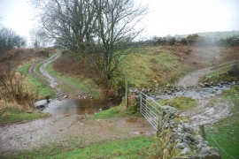
Two Fords at Scargreen
Access road for Monkwood Cottage
Two Fords at Scargreen
Location and coordinates are for the approximate centre of In Fell within this administrative area. Geographic features and populated places may cross administrative borders.