-
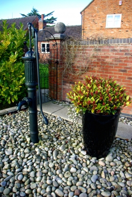
Pump at Younds Cottage Farm
-
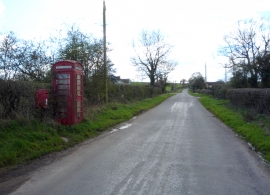
New Road
Pump at Younds Cottage Farm
New Road
Location and coordinates are for the approximate centre of Harehill within this administrative area. Geographic features and populated places may cross administrative borders.