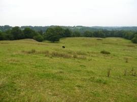
Hall Wood, Wrexham

« Gazetteer Entry
Upload Photo

Hall Wood, Wrexham

  • Parish/Community: Ruabon
  • Unitary Authority: Wrexham
  • Region: Wales
  • Category: Landcover
  • Type: Forest or Wood
  • Latitude/Longitude: 52°57'42"N 3°0'9"W
  • Eastings/Northings: 332748, 340954
  • OS Grid: SJ327409
  • Mapcode Local: GBR 75.KH3N
  • Mapcode Global: WH89B.VTBC

Location and coordinates are for the approximate centre of Hall Wood within this administrative area. Geographic features and populated places may cross administrative borders.

BritishPlaceNames.uk is a Good Stuff website.