-
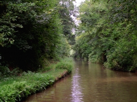
Shropshire Union Canal south-east of Market Drayton, Shropshire
-
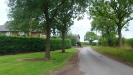
Tag Lane at Old Springs Farm
Shropshire Union Canal south-east of Market Drayton, Shropshire
Tag Lane at Old Springs Farm
Location and coordinates are for the approximate centre of Hall Wood within this administrative area. Geographic features and populated places may cross administrative borders.