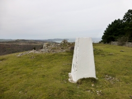
Gwrych Castle Wood, Conwy

« Gazetteer Entry
Upload Photo

Gwrych Castle Wood, Conwy

  • Parish/Community: Abergele
  • Unitary Authority: Conwy
  • Region: Wales
  • Category: Landcover
  • Type: Forest or Wood
  • Latitude/Longitude: 53°16'55"N 3°37'19"W
  • Eastings/Northings: 291950, 377365
  • OS Grid: SH919773
  • Mapcode Local: GBR 3Z4H.M4
  • Mapcode Global: WH657.BRFN

Location and coordinates are for the approximate centre of Gwrych Castle Wood within this administrative area. Geographic features and populated places may cross administrative borders.

BritishPlaceNames.uk is a Good Stuff website.