-
Eisteddfod yr Urdd 2012
-

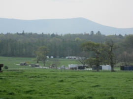
Ploughed field at Ty Mawr Farm
Eisteddfod yr Urdd 2012
Ploughed field at Ty Mawr Farm
Location and coordinates are for the approximate centre of Gwinllan Cefn-y-maes within this administrative area. Geographic features and populated places may cross administrative borders.