-
Hillside reservoir above Woodhouse Wood
-

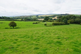
Harvested field below Offa's Dyke
Hillside reservoir above Woodhouse Wood
Harvested field below Offa's Dyke
Location and coordinates are for the approximate centre of Gwernaffel Dingle within this administrative area. Geographic features and populated places may cross administrative borders.