-
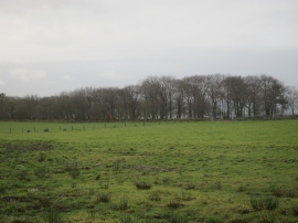
Gun Plantation, a long thin wood as seen from the road
-

Approaching Gun Plantation
Gun Plantation, a long thin wood as seen from the road
Approaching Gun Plantation
Location and coordinates are for the approximate centre of Gun Plantation within this administrative area. Geographic features and populated places may cross administrative borders.