-
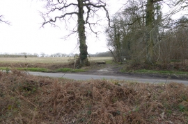
Footpath junction with road
-
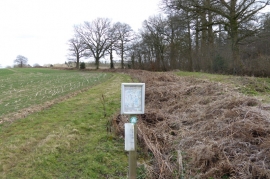
Natural England notice concerning permissive access
Footpath junction with road
Natural England notice concerning permissive access
Location and coordinates are for the approximate centre of Grove Croft Copse within this administrative area. Geographic features and populated places may cross administrative borders.