-
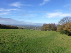
The South Cheshire Way at Roe Park
-
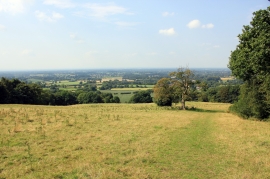
The South Cheshire Way at Roe Park
The South Cheshire Way at Roe Park
The South Cheshire Way at Roe Park
Location and coordinates are for the approximate centre of Grotto Wood within this administrative area. Geographic features and populated places may cross administrative borders.