-
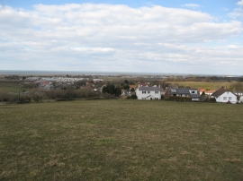
Contrast between permanent dwellings and massed caravans
-
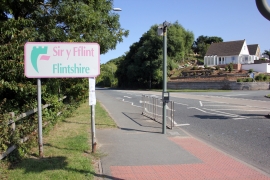
The Flintshire County Boundary at Gronant
Contrast between permanent dwellings and massed caravans
The Flintshire County Boundary at Gronant
Location and coordinates are for the approximate centre of Gronant within this administrative area. Geographic features and populated places may cross administrative borders.