-
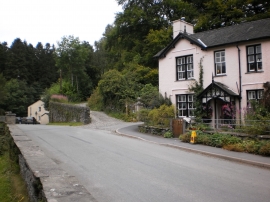
Start of a walking trail in Grizedale Forest
-

Ancient Forester 2 by David Kemp 1995
Start of a walking trail in Grizedale Forest
Ancient Forester 2 by David Kemp 1995
Location and coordinates are for the approximate centre of Grizedale within this administrative area. Geographic features and populated places may cross administrative borders.