-
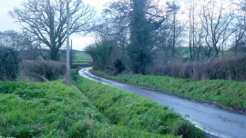
Lane in the Grey Valley
-
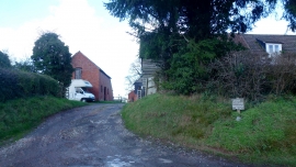
Jury Cottage Farm
Lane in the Grey Valley
Jury Cottage Farm
Location and coordinates are for the approximate centre of Grey Valley within this administrative area. Geographic features and populated places may cross administrative borders.