-
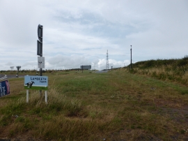
A multitude of signs at Wallaston Cross
-
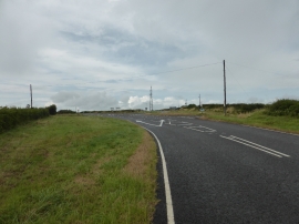
Wallaston Cross multi-road junction
A multitude of signs at Wallaston Cross
Wallaston Cross multi-road junction
Location and coordinates are for the approximate centre of Green Hill within this administrative area. Geographic features and populated places may cross administrative borders.