-
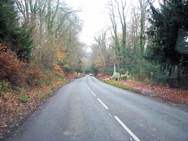
B471 descents towards Whitchurch
-
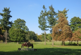
Trees and Horses, Whitchurch
B471 descents towards Whitchurch
Trees and Horses, Whitchurch
Location and coordinates are for the approximate centre of Greatpiece Belt within this administrative area. Geographic features and populated places may cross administrative borders.