-
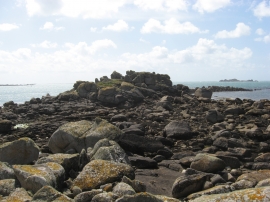
Middle Colvel Rocks
-
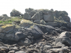
Middle Colvel Rocks
Middle Colvel Rocks
Middle Colvel Rocks
Location and coordinates are for the approximate centre of Great Rushy Bay Ledge within this administrative area. Geographic features and populated places may cross administrative borders.