-
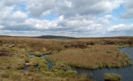
Peat banks, pools and Great Rundale Tarn
-
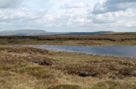
Great Rundale Tarn
Peat banks, pools and Great Rundale Tarn
Great Rundale Tarn
Location and coordinates are for the approximate centre of Great Rundale Tarn within this administrative area. Geographic features and populated places may cross administrative borders.