-
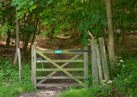
Gate into Great Plantation
-
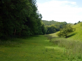
The path next to Great Plantation
Gate into Great Plantation
The path next to Great Plantation
Location and coordinates are for the approximate centre of Great Plantn within this administrative area. Geographic features and populated places may cross administrative borders.