-
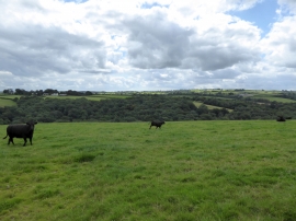
Looking south from the road at Highridge
-
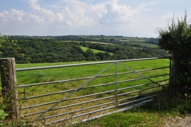
North Devon : Grassy Field & Gate
Looking south from the road at Highridge
North Devon : Grassy Field & Gate
Location and coordinates are for the approximate centre of Great Cleave Copse within this administrative area. Geographic features and populated places may cross administrative borders.