-
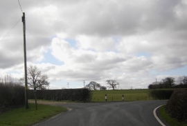
Island lane by turning for Island House
-
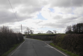
Island Lane by the turning for Sharples Hall
Island lane by turning for Island House
Island Lane by the turning for Sharples Hall
Location and coordinates are for the approximate centre of Gravel Hill Wood within this administrative area. Geographic features and populated places may cross administrative borders.