-
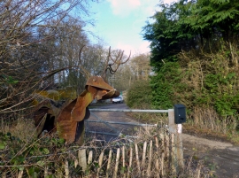
Old Deer By The Gate
-
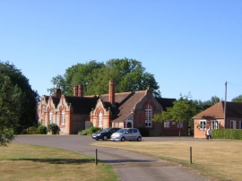
Allnutt's Almshouses, Goring Heath
Old Deer By The Gate
Allnutt's Almshouses, Goring Heath
Location and coordinates are for the approximate centre of Goring Heath within this administrative area. Geographic features and populated places may cross administrative borders.