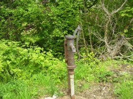
Good Moors, Pembrokeshire

« Gazetteer Entry
Upload Photo

Good Moors, Pembrokeshire

  • Parish/Community: Cosheston
  • Unitary Authority: Pembrokeshire
  • Region: Wales
  • Category: Landcover
  • Type: Forest or Wood
  • Latitude/Longitude: 51°42'15"N 4°52'39"W
  • Eastings/Northings: 201263, 204542
  • OS Grid: SN012045
  • Mapcode Local: GBR G9.9RCR
  • Mapcode Global: VH1S1.DFRB

Location and coordinates are for the approximate centre of Good Moors within this administrative area. Geographic features and populated places may cross administrative borders.

BritishPlaceNames.uk is a Good Stuff website.