-
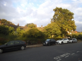
Temple Fortune Lane, Hampstead Garden Suburb
-
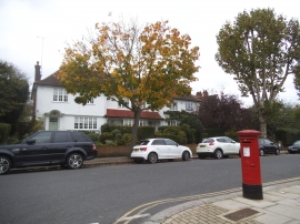
Temple Fortune Lane
Temple Fortune Lane, Hampstead Garden Suburb
Temple Fortune Lane
Location and coordinates are for the approximate centre of Golders Green within this administrative area. Geographic features and populated places may cross administrative borders.