-
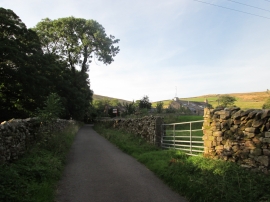
Dockra Bridge on track north from Cowgill
-
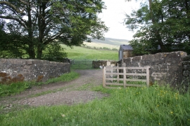
Dockra Lane
Dockra Bridge on track north from Cowgill
Dockra Lane
Location and coordinates are for the approximate centre of Gill Wood within this administrative area. Geographic features and populated places may cross administrative borders.