-
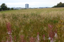
Garnkirk, overgrown field
-
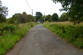
Garnkirk, railway bridge
Garnkirk, overgrown field
Garnkirk, railway bridge
Location and coordinates are for the approximate centre of Garnkirk within this administrative area. Geographic features and populated places may cross administrative borders.