-
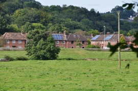
Tiverton : Tiverton Houses & Field
-
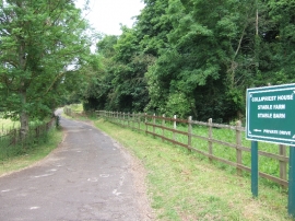
Drive to Collipriest House
Tiverton : Tiverton Houses & Field
Drive to Collipriest House
Location and coordinates are for the approximate centre of Garden Copse within this administrative area. Geographic features and populated places may cross administrative borders.