-

Footpath (part of the '1066 Country Walk') near Friar's Hill
-
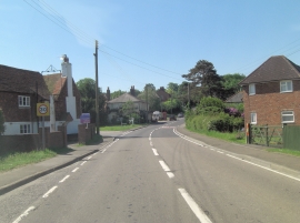
A259 junction with Chapel Lane
Footpath (part of the '1066 Country Walk') near Friar's Hill
A259 junction with Chapel Lane
Other current and historical names
Location and coordinates are for the approximate centre of Friar's Hill within this administrative area. Geographic features and populated places may cross administrative borders.