-
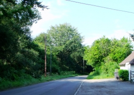
Buckham Hill heading north to Shortbridge
-
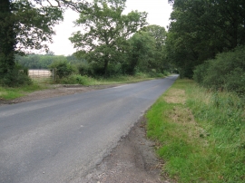
Minor road at Little Buckham Farm, Isfield
Buckham Hill heading north to Shortbridge
Minor road at Little Buckham Farm, Isfield
Location and coordinates are for the approximate centre of Foxearth Wood within this administrative area. Geographic features and populated places may cross administrative borders.