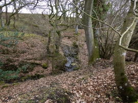
Forest Burn, Northumberland

« Gazetteer Entry
Upload Photo

Forest Burn, Northumberland

  • Parish/Community: Hesleyhurst
  • Unitary Authority: Northumberland
  • Region: North East
  • Category: Water Feature
  • Type: Other Water Feature
  • Latitude/Longitude: 55°16'50"N 1°52'3"W
  • Eastings/Northings: 408500, 598500
  • OS Grid: NZ085985
  • Mapcode Local: GBR H7DC.FW
  • Mapcode Global: WHC22.8JVP

Location and coordinates are for the approximate centre of Forest Burn within this administrative area. Geographic features and populated places may cross administrative borders.

BritishPlaceNames.uk is a Good Stuff website.