-
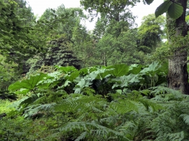
Gunnera Manicata, Picton Park
-
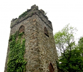
Rose Castle Tower
Gunnera Manicata, Picton Park
Rose Castle Tower
Location and coordinates are for the approximate centre of Fish Pond Wood within this administrative area. Geographic features and populated places may cross administrative borders.