-

View from a Peterborough-London train - Cutting leading up to Potters Bar Tunnels
-
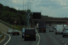
The M25 eastbound at junction 24
View from a Peterborough-London train - Cutting leading up to Potters Bar Tunnels
The M25 eastbound at junction 24
Location and coordinates are for the approximate centre of Fir Wood within this administrative area. Geographic features and populated places may cross administrative borders.