-
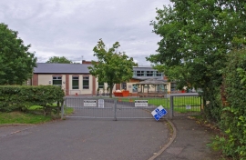
St. Kenelm's Church of England Primary School, Bromsgrove Road
-
St Kenelm's School
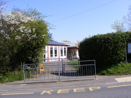
St. Kenelm's Church of England Primary School, Bromsgrove Road
St Kenelm's School
Location and coordinates are for the approximate centre of Ell Wood within this administrative area. Geographic features and populated places may cross administrative borders.