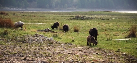
Eilean nan Gall, Highland

« Gazetteer Entry
Upload Photo

Eilean nan Gall, Highland

  • Unitary Authority: Highland
  • Region: Scotland
  • Category: Geographic Feature
  • Type: Coastal Headland
  • Latitude/Longitude: 57°13'29"N 5°24'46"W
  • Eastings/Northings: 194062, 820061
  • OS Grid: NG940200
  • Mapcode Local: GBR F90M.HBJ
  • Mapcode Global: WH0BJ.TNKR

Location and coordinates are for the approximate centre of Eilean nan Gall within this administrative area. Geographic features and populated places may cross administrative borders.

BritishPlaceNames.uk is a Good Stuff website.