-
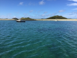
Two boats in East Porth
-
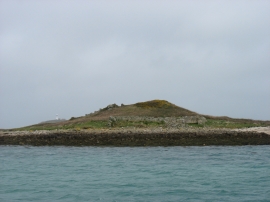
Tean
Two boats in East Porth
Tean
Location and coordinates are for the approximate centre of East Porth within this administrative area. Geographic features and populated places may cross administrative borders.